Log in
All resources
Create a design
9,296 Free Artworks of Map Collection
eran laor cartographic collection
bibliothèque nationale de france
joan blaeu
maps of spain by tomas lopez
copper engraving print
british library
latin-language maps
dutch-language maps
english-language maps
map - museu antônio parreiras
19th-century maps of loire-atlantique
pierre cambronne
pierre terrail de bayard
casimir pierre perier
19th-century maps of loire (department)
coats of arms of cities in loire
eran laor cartographic collection
romeyn de hooghe
eran laor cartographic collection
german renaissance,humanism
eran laor cartographic collection
gerard de jode
eran laor cartographic collection
cornelis de bruyn
eran laor cartographic collection
cornelis de bruyn
eran laor cartographic collection
martin engelbrecht
eran laor cartographic collection
german renaissance,humanism
eran laor cartographic collection
william hole (engraver)
eran laor cartographic collection
romanticism
eran laor cartographic collection
german renaissance,humanism
eran laor cartographic collection
german renaissance,humanism
eran laor cartographic collection
emanuel bowen
eran laor cartographic collection
cornelis de bruyn
eran laor cartographic collection
william hole (engraver)
eran laor cartographic collection
cornelis de bruyn
eran laor cartographic collection
joan blaeu
eran laor cartographic collection
cornelis de bruyn
eran laor cartographic collection
joan blaeu
maps from the mechanical curator collection available to georeference
maps from the mechanical curator collection
coats of arms of cities in lot-et-garonne
victor levasseur - maps of france
eran laor cartographic collection
johann ulrich krauß
the cruise of the alice may in the gulf of st. lawrence and adjacent waters (1885) by benjamin
maps from the mechanical curator collection
drawings in the museu antônio parreiras
paper and charcoal
drawings in the museu antônio parreiras
paper and graphite
brazilian paintings in the museu antônio parreiras
textile and oil painting on canvas
drawings in the museu antônio parreiras
paper and graphite
map of ancient armenia by philippe de la rué
eran laor cartographic collection
maps from university of amsterdam special collections
atlas der neederlanden
hierosolyma clarissima totius map by braun & hogenberg
latin-language maps showing history
maps made in the 17th century
angoumois (ducato)
maps of paris by braun & hogenberg
maps of paris from paris musées
maps of the course of the rhine by guillaume sanson
bibliothèque nationale de france
turgot map of paris, david rumsey historical map collection – derivative files
historical images of place des vosges
turgot map of paris, david rumsey historical map collection – derivative files
historical images of église saint-sulpice
turgot map of paris, david rumsey historical map collection – derivative files
hôtel de liancourt
1740s maps of the united kingdom
maps in the british museum
eran laor cartographic collection
antonio lafreri
eran laor cartographic collection
arnold colom
eran laor cartographic collection
joseph schwarz
eran laor cartographic collection
raymond bonheur
eran laor cartographic collection
willem blaeu
eran laor cartographic collection
romeyn de hooghe
peter schwingen
peter de weerth
maps from university of amsterdam special collections
atlas der neederlanden
maps from university of amsterdam special collections
atlas der neederlanden
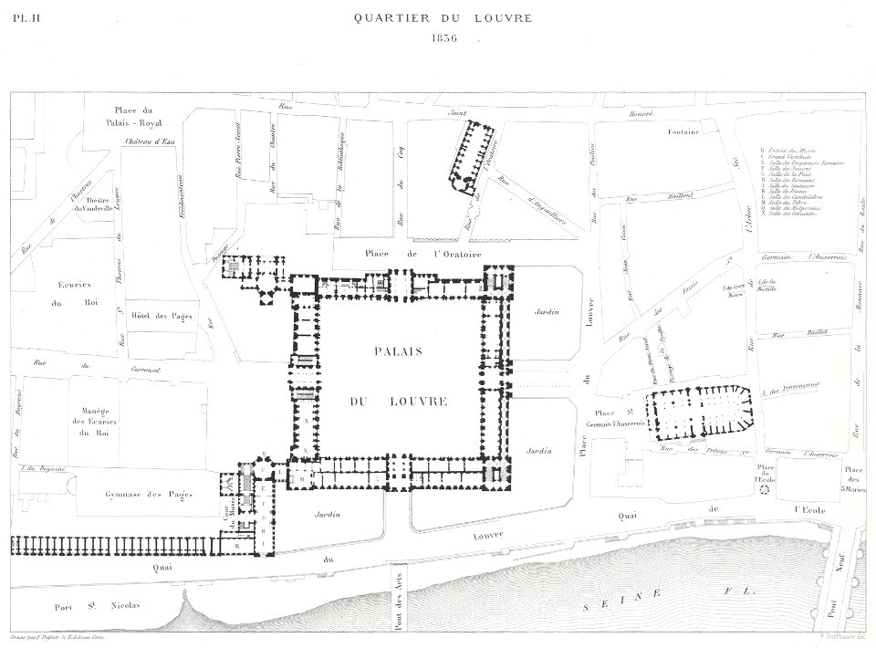
engravings of louvre by theodor hoffbauer
lithographs of paris
maps of the iberian peninsula by guillaume delisle
1700s maps of the iberian peninsula
maps of the iberian peninsula by guillaume delisle
1700s maps of the iberian peninsula
maps by claude joseph sauthier
old maps of new york (state)
eran laor cartographic collection
jacob peeters
19th-century portrait paintings in the hermitage
portraits by franz krüger (russia)
media contributed by university of illinois urbana-champaign university library
1831 maps of africa
maps by jacob peeters
1692 maps of africa
media contributed by university of illinois urbana-champaign university library
1833 maps of africa
maps by johannes vingboons
old maps of asia
arnold van langren map of southwest africa
1600 maps of africa
eran laor cartographic collection
latin-language maps
eran laor cartographic collection
joachim ottens
eran laor cartographic collection
adolf eltzner
eran laor cartographic collection
guillaume sanson
eran laor cartographic collection
joan blaeu
eran laor cartographic collection
baroque
brazilian paintings in the museu antônio parreiras
clóvis arrault
media contributed by university of illinois urbana-champaign university library
1685 maps of africa
maps made in the 17th century
africa settentrionale
maps made in the 17th century
ancona (marca)
drawings in the museu antônio parreiras
paper and graphite
sanson maps of north america
maps by nicolas sanson
the cruise of the alice may in the gulf of st. lawrence and adjacent waters (1885) by benjamin
maps from the mechanical curator collection
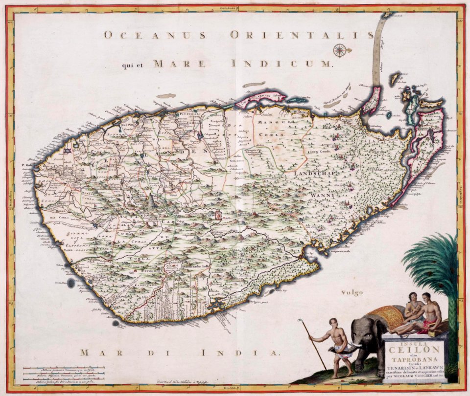
maps of the dutch east india company - sri lanka
1680s
maps of the west-indische compagnie
1665
map collection of leibniz-institut für länderkunde
maps of spain by tomas lopez
map collection of leibniz-institut für länderkunde
maps of spain by tomas lopez
prints published by jacob van meurs in the rijksmuseum amsterdam
prints by jacob van meurs in the rijksmuseum amsterdam
maps of spain by tomas lopez
1782 maps of spain
18th-century maps of north africa
maps by tomas lopez
maps in the british museum
1780s maps of france
maps of spain by tomas lopez
1773 maps of spain
maps of spain by tomas lopez
1779 maps of spain
maps of spain by tomas lopez
1779 maps of spain
maps of spain by tomas lopez
1782 maps of spain
maps of spain by tomas lopez
1779 maps of spain
maps of spain by tomas lopez
1779 maps of spain
old maps of tenerife
1779 maps of spain
maps of spain by tomas lopez
1773 maps of spain
atlas maior, vol 6 (scotland and ireland) - joan blaeu, 1667 - bl 114.h(star).6
1667 maps
atlas maior, vol 5 (england) - joan blaeu, 1667 - bl 114.h(star).5
17th-century maps of northamptonshire
atlas maior, vol 6 (scotland and ireland) - joan blaeu, 1667 - bl 114.h(star).6
1667 maps
prints by ambrogio brambilla
maps in the british museum
atlas maior, vol 6 (scotland and ireland) - joan blaeu, 1667 - bl 114.h(star).6
1667 maps
atlas maior, vol 5 (england) - joan blaeu, 1667 - bl 114.h(star).5
17th-century maps of lancashire
atlas maior, vol 10 (spain and africa) - joan blaeu, 1667 - bl 114.h(star).10
1667 maps
atlas maior, vol 5 (england) - joan blaeu, 1667 - bl 114.h(star).5
17th-century maps of radnorshire
atlas maior, vol 12 (america) - joan blaeu, 1667 - bl 114.h(star).12
1667 maps
atlas maior, vol 5 (england) - joan blaeu, 1667 - bl 114.h(star).5
17th-century maps of leicestershire
atlas maior, vol 7 (france i) - joan blaeu, 1667 - bl 114.h(star).7
1667 maps
atlas maior, vol 5 (england) - joan blaeu, 1667 - bl 114.h(star).5
17th-century maps of brecknockshire
2101 - 2200 of 9,296
Next page
/ 93